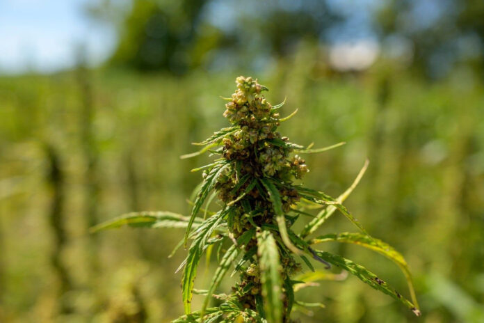
BLACKSBURG, Va. — Just how far can grains of pollen travel and how much unintended damage can these miniscule particles inflict? For growers in the hemp industry, this has become a million-dollar question.
Hemp crops stem from the same plant species and are grown for a range of uses including fiber, seeds, or flowers rich in cannabinoids such as cannabidiol (CBD). But for farmers producing plants for hemp fiber and those cultivating flowering plants for medicinal purposes, cross-pollination between neighboring fields has become a significant challenge.
Windborne pollen dispersal can lead to contaminated seeds, reduced oil yields, and in some cases, mandated crop destruction for one or both crops.
There are millions of dollars in lost crops at stake, yet little research exists on the patterns and activity of hemp dispersal. In a paper recently published in the journal Scientific Reports, Virginia Tech graduate student Manu Nimmala and College of Engineering faculty Shane Ross and Hosein Foroutan are characterizing the seasonal and spatial patterns in windborne hemp pollen dispersal spanning the contiguous United States.
According to Ross, professor in the Kevin T. Crofton Department of Aerospace and Ocean Engineering, this is the first paper to identify physics-based vulnerabilities of cross-pollination in hemp crops.
“Due to its small size, hemp pollen travels farther and deposits in greater quantities than other wind-pollinated crops,” said Ross. “Our map simulates just how far pollen can spread, highlighting states and areas with the highest vulnerability to cross pollination.”
The research, funded by a grant from the U.S. Department of Agriculture, looked at all 3,107 counties in the continental U.S. from July to November 2016, covering the potential flowering season for industrial hemp. While only a small percentage of those counties reported active hemp farms, this data can help farmers assess the cross-pollination risk in their county.
The team’s model incorporated a number of parameters affecting diffusion and dispersion in fluid flows such as boundary layer height, friction velocity, convective velocity, surface roughness, and wind speed. The mapping simulation identified the following:
- Seasonal differences impacted dispersal, as the highest deposition rates of hemp pollen were recorded in July and the lowest in November. Hemp pollen stays aloft longer in warmer, convective daytime conditions, leading to longer-distance dispersal and less overall deposition than in shear-driven nighttime conditions.
- Warmer regions like the Southwest and Southeast experienced the lowest deposition rates throughout the season. Regions with high winds and cooler autumn temperatures such as the Upper Midwest, the Ohio Valley, and Northeast experienced the highest deposition rates at the greatest distance.
- Cross-pollination vulnerability can be estimated by combining these seasonal and spatial dispersal patterns with county-level hemp acreage data.
Manu Nimmala, a Ph.D. student studying engineering mechanics, has focused her doctoral research on how different wind conditions drive pollen dispersal.
“Cross pollination has been a challenging issue for hemp growers, and I would love for the industry to continue to grow in the U.S. We hope this information can better inform policy makers as well as the farmers involved,” Nimmala said.
Strategic community planning for hemp growers would alleviate many of the cross-pollination challenges. Weather forecasting, combined with dispersal modeling, could provide a way to predict when and where pollen will tend to travel further, giving individual farmers the chance to plan their crops strategically, and evaluate the risks of growing one crop over another. It would also allow for voluntary community-level planning, where stakeholders make decisions together regarding when and where certain varieties of crops should be planted in each season.
“It might not be possible to establish a very strict isolation distance the way you would with other crops, as cross-pollination risk also depends on the size of the farm or pollen source, time of year, and weather conditions,” said Nimmala. “With this data, we would advocate for community planning, and encourage farmers to talk to each other about the crops they plan to plant each season. These patterns could inform both spatial and temporal isolation strategies, and maybe even insurance coverage related to cross-pollination damage.”
Because the industry is extremely new, the infrastructure to balance production with supply-chain capacity and consumer demand is still being developed.
“This is only a first step in preventing unintended cross-contamination,” said Ross. “Our map reveals hard physics-based data about vulnerable areas, but it is up to the states and policy makers to decide the best approaches to mitigate the problem.”


